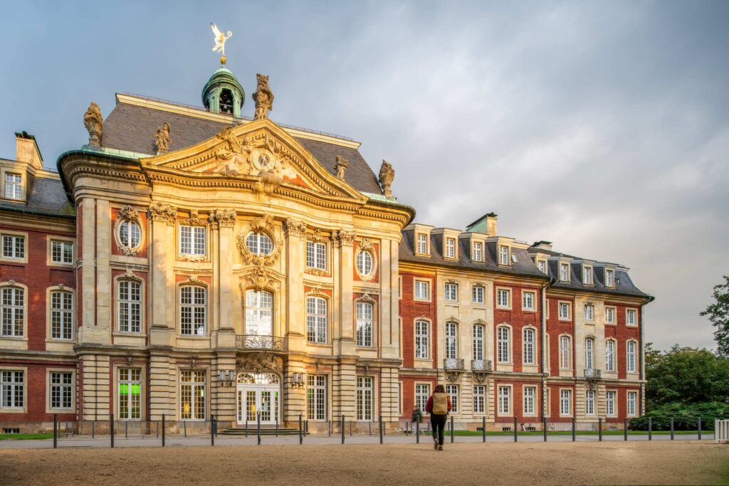
The Spatial Intelligence Lab is part of the Institute for Geoinformatics at the University of Muenster and deals with research problems from the interdisciplinary field of geographic information science, computer science and cognitive science.
What we do
Our research brings together topics from a diverse array of subject areas under the unified theme „intelligent representation and processing of geospatial information“ . We are particularly interested in understanding the techniques that humans employ to structure spatial knowledge and use this understanding to provide better methods for interacting with GI systems.
We investigate how geoinformation technologies can best support human cognition and learning processes such that we can better understand and solve spatio-temporal problems.
We follow a use-inspired research approach: Gaining scientific knowledge serves to advance practical solutions which were applied in several successful products and spin-offs.
Research area
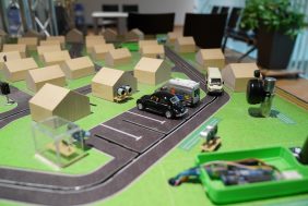
Our research includes analysis of sketch maps, exploration of GI technologies for education and development cognitive-motivated wayfinding support systems.
At a glance
research lab on spatial intelligence
@Uni Muenster since 2008
Our Goal: assist people with GI Technology to solve spatio-temporal problems
Our Approach: basic research driven by potential benefits of our findings for real world problems
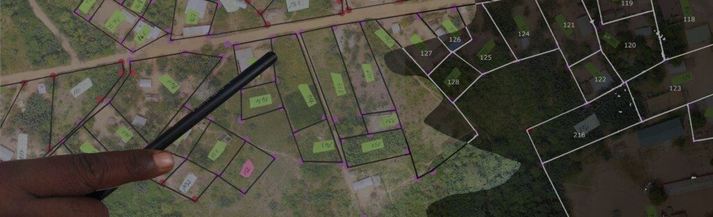
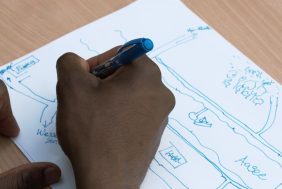
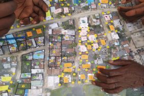
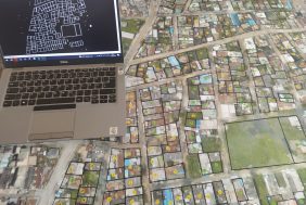
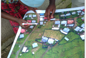
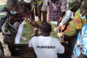
Sketch maps are informal drawings that reflect a person’s perception of spatial areas. Because they are intuitive and easy to create, they are used in community mapping activities and in psychological experiments to capture individuals’ spatial knowledge. However, just like cognitive maps, sketch maps are incomplete, distorted, and schematized, which poses a challenge for the analysis.
We develop a computational approach to analyse hand-drawn sketch maps with respect to their completeness, correctness and degree of generalization, paying attention to the fact that human knowledge is qualitative in nature, thus sketch maps should be analysed qualitatively.
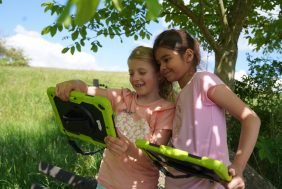
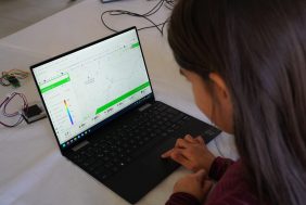
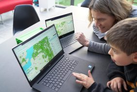
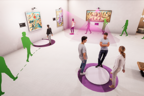
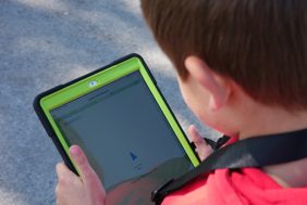
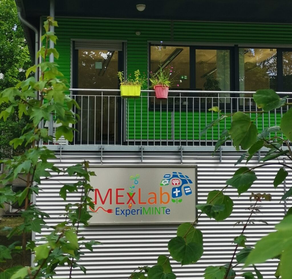
“GI in education” supports innovative teaching and learning processes through the use of geospatial technology. We aim to promote computational, spatial, and scientific literacy and support students in their spatial thinking.
Whether it’s programming your own senseBox environmental measuring station, observing and analysing local environmental phenomena on the openSenseMap, or exploring the environment in the geogame GeoGami: We share our ethusiasm for using technology to address spatio-temporal challenges of today’s world.
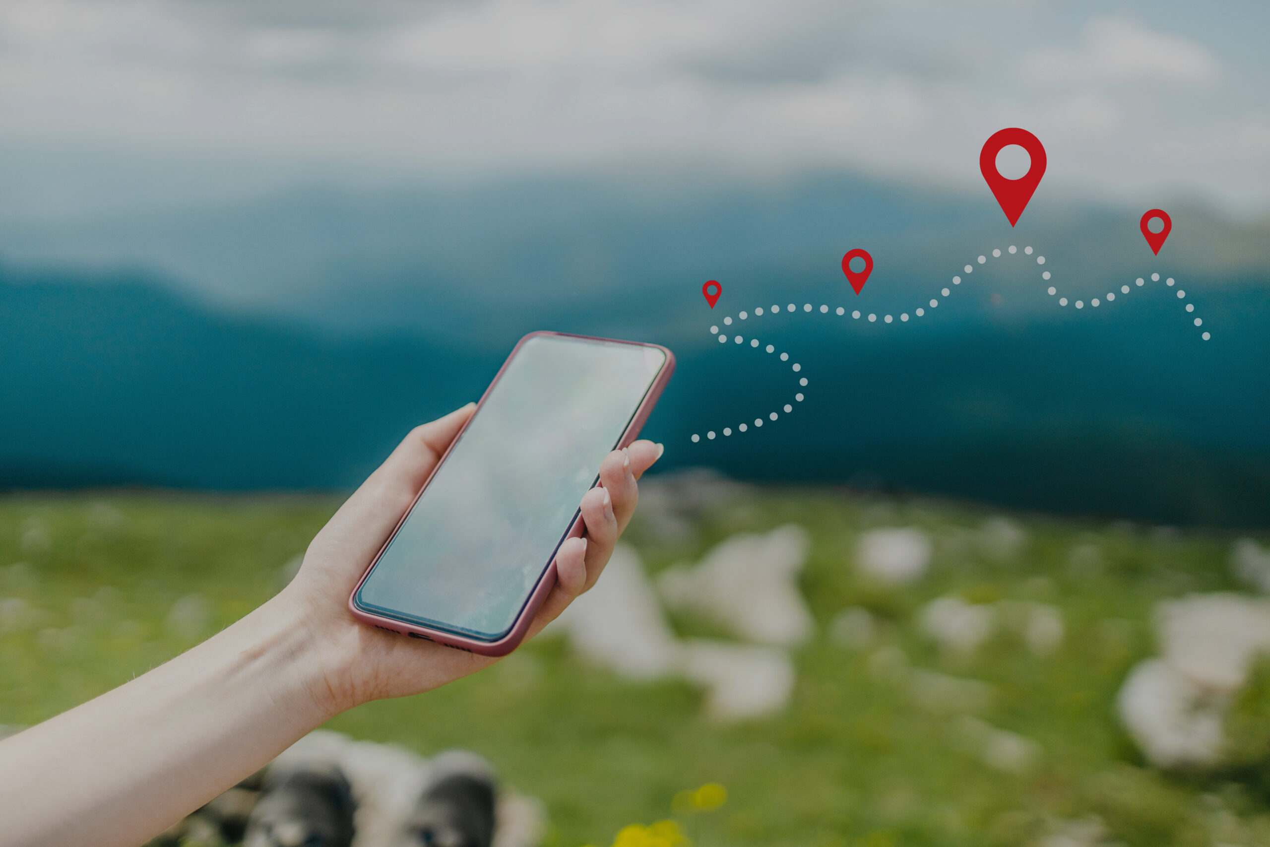
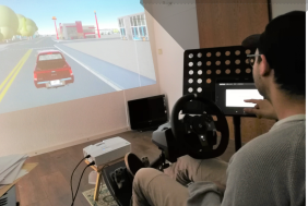
The competence to navigate and orient oneself in the environment can be considered as one of our most fundamental abilities. However, with the extensive use of navigation apps, these competences might dissipate.
Wayfinding & Spatial Behaviour develops intelligent systems to better analyse human interaction with their environment and to communicate routes more intuitively. We aim to design assistance systems that actively train spatial orientation, navigation and map reading competences while assisting users in finding their way. This contributes to the next-generation intelligent applications that support the active cognitive engagement of users fostering their competence to accomplish a task.